
Mapping has become an important part of life in today’s fast-paced world and is so much more than a convenience; it is a crucial piece of the puzzle, whether it be the planning stage, making decisions with confidence, or ensuring security. Our Mapping Services will provide the knowledge you need to understand the site with direct accuracy by creating visual representations of complex data. Whether it’s terrain modelling, infrastructure planning, aerial mapping, etc, our services will change the way you see data and spatial information.
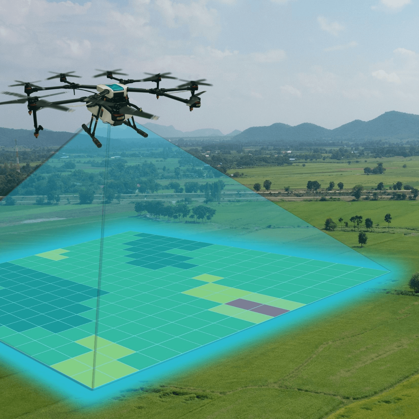

Our upcoming mapping solutions will provide organizations with advanced tools to analyze, interpret, and visualize critical areas with precision.
Key highlights of our Mapping Services include:
Capture details not recognized in standard maps.
Understand how an area is laid out, from elevation to structure placement.
A way to transform raw data into account reports for informed analysis.
Developed to suit your specific project requirements.

Gain real-time situational awareness.
From roadways to utilities, plan smarter and safer.
Track changes in land use, forestry, and water resources.
Visualize and safeguard high-value sites.
For secure surveillance and operational planning.
For accurate project mapping and land assessments.
To optimize infrastructure development and monitoring.
For conservation and sustainable planning.
To support business expansion and property management.


Traditional maps often do not provide the degree of detail sufficient for today’s operations. Our new age mapping capabilities will provide intelligence, not just a map. This will allow for:
Our Mapping Services are disrupting how organizations plan, operate, and enhance security. Stay connected with NNN and be among the first to access it!